Elite Aerial
Solutions, LLC
OKLAHOMA'S PREMIERE AERIAL DATA PROVIDER
SERVICES

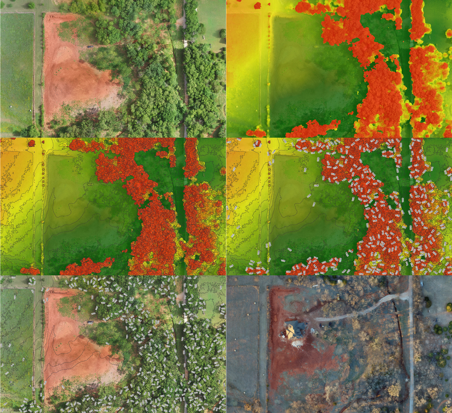
Custom maps to help you navigate all types of terrain.

We can provide aerial data for virtually any location at a fraction of the cost of using a manned plane or helicopter.

Let us capture the perfect shot of your construction site, commercial property, home, or anything else you desire.

Document and keep track of your projects with a view from above.

Reduce safety risks and save time by inspecting equipment via drones.

ABOUT
Elite Aerial Solutions was founded with one goal in mind; to provide cost effective, high resolution, aerial data to the everyday user.
By using drones instead of traditional methods such as manned aircraft or satellites, we are able to drastically lower the cost of collecting aerial and 3-D data. We strive to produce highly accurate data with a relatively low turn around time at a fraction of the cost of conventional methods.
We also provide geospatial products such as custom aerial and topographic maps. Whether you are looking for an aerial map to help navigate your hunting property or a detailed topographic map to help plan your crops on the farm, we can create the perfect map to fit your needs.
We primarily operate in Oklahoma and surrounding states, but we are more than happy to support your specific needs anywhere in the United States. If you would like to receive more information or request a quote don't hesitate to contact us.
We have a experienced, FAA Part 107 Licensed pilots who fly all of our missions. Why risk using an unlicensed company to complete your projects?
2017
Year Established
3
Projects Completed
1
Licsensed Pilots
CONTACT
Inquiries
For any inquiries or questions please fill out the following form:
Head Office
